africa on a globe
Interactive Africa Map
 

Topographic Map Of Africa

Map of Africa > Africa History | Africa Travel Tips

Africa Relief Map | Africa Topographical Map
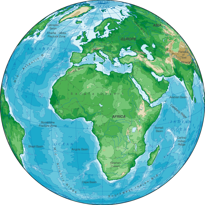
Africa is a land of topographical contrasts.  The dry Sahara Desert in northern Africa merges into the Atlas Mountains to the northwest and the Great Rift Valley to the east.  To the south toward the Equator, rainfall amounts are greater but the Kalahari Desert in southern Africa is another dry region.  Africa's highest point is Tanzania's Mount Kilimanjaro, which rises to 19,340 feet above sea level.  The surface of Djibouti's Lake Assal, at 515 feet below sea level, is Africa's lowest elevation.
Africa Topographical Map
map africa - topographical map of africa

Copyright © 2005-2025 Map-Of-Africa.us.
All rights reserved.

Africa Map
Africa History & CultureAfrica Travel & Tourism
Africa Relief MapAfrica Topographic Map

Topographical Map Of Africa